South central Wisconsin
Madison
A capital city on an isthmus between two lakes, with a white granite dome at the centre and a university running down to the water. The most walkable weekend in the state.
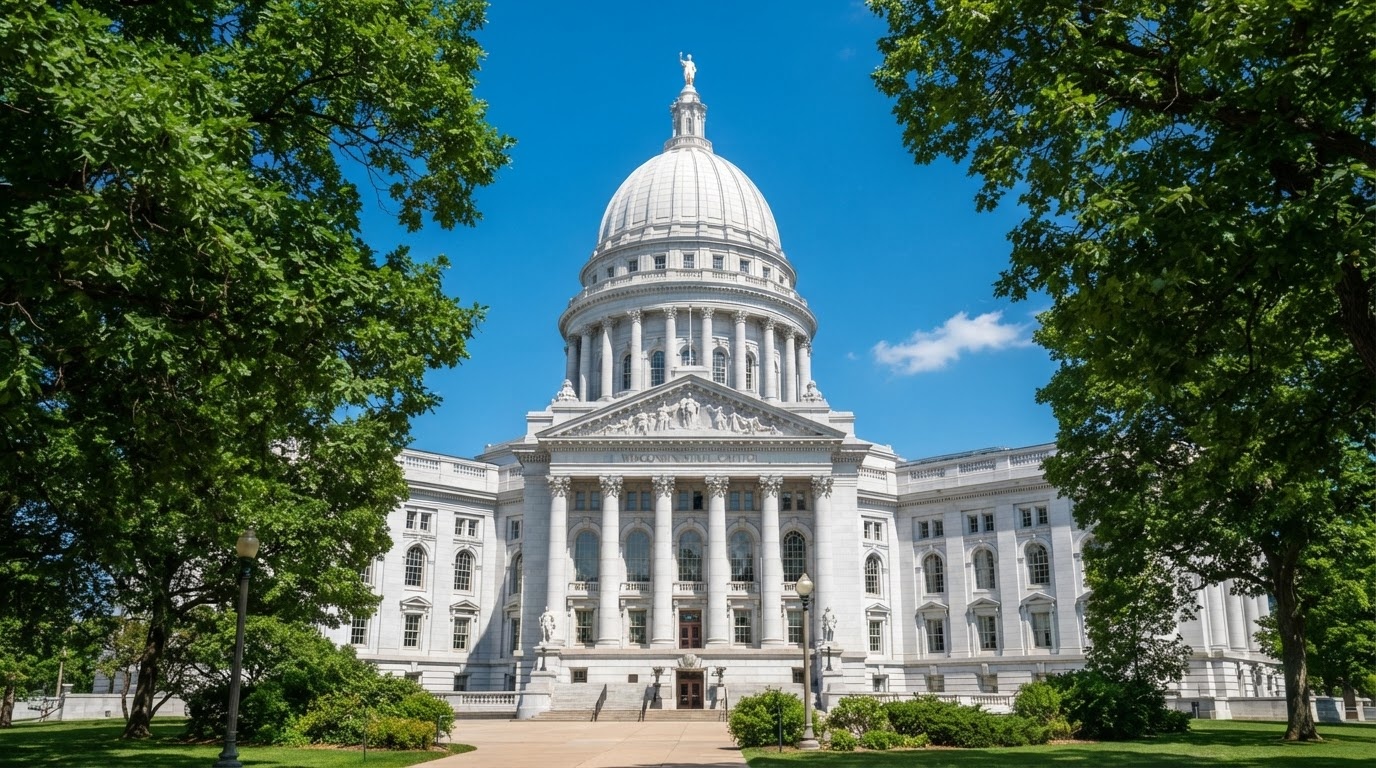
How the city is shaped
Everything you came to see fits in a 3 km line. The Capitol sits on a hill at the centre of the isthmus, ringed by a square and nine streets of independent shops. From there, State Street runs a mile west to the university campus, which runs another mile to the Lake Mendota shore. Lake Monona is on the other side of the Capitol, with a 20 km loop path around it.
That means one car park, one day of walking, and no need to move the car until you leave.
What to do
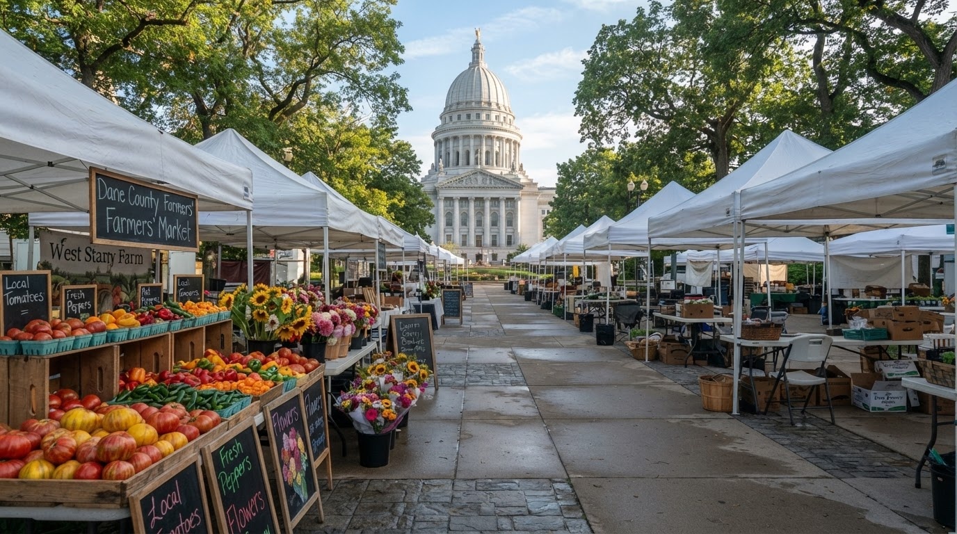
Capitol Square and the Saturday farmers market
The market wraps the entire four-sided square, and it is the largest producer-only farmers market in the country: everything sold is grown or made by the vendor. Cheese curds, sweet corn in August, cider doughnuts, flowers, and a lot of people with bicycles.
It starts at 6:15am and runs to about 1:45pm on Saturdays from April to November. Go before 10am, when the crowds are thinner and the best produce is still there. Any other day, walk the square anyway: the Capitol itself is open to the public, free, and you can stand under the dome looking up at the only granite-domed capitol in the country.
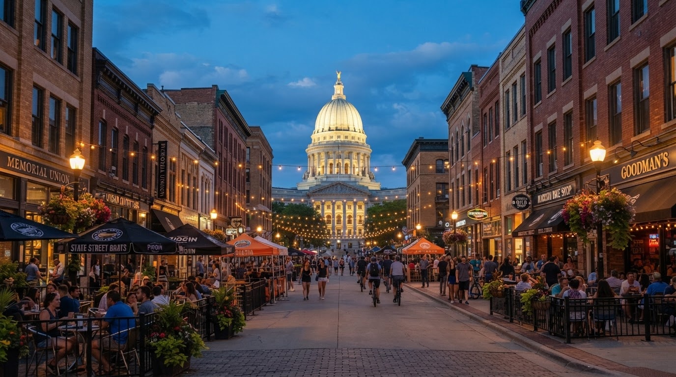
State Street
A mile of shops, cafes, bookshops, cheap restaurants and buskers connecting the Capitol to campus. The campus end is pedestrianised. It is not elegant, but it is genuinely used — this is where the city mixes, and it is the best place to eat cheaply.
Memorial Union Terrace
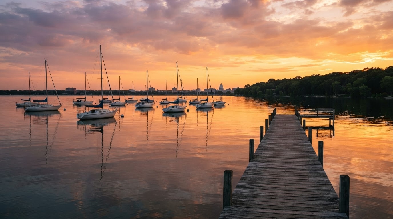
On the Lake Mendota shore, with the famous sunburst-patterned metal chairs and a pier built out over the water. Open to everyone, no purchase required, and the best free thing in Wisconsin. In summer there is live music most evenings; in October it is where the whole city goes to watch the leaves. Arrive an hour before sunset for a chair at the lake edge.
The lakeshore path
From the Terrace, a flat gravel path runs west along Lake Mendota for about 3 km to picnic Point. The full loop back through campus is roughly 6 km and takes 90 minutes at walking pace. Cycles can be hired on campus.
Olbrich Botanical Gardens
Twenty minutes east of downtown: 16 acres of outdoor gardens, free to enter, plus a glasshouse that costs a few dollars and holds a tropical collection and a golden Thai pavilion — the only one of its kind outside Thailand.
Monona Terrace and the lake loop
Frank Lloyd Wright designed a convention centre for this shoreline in 1938; it was finally built in 1997 to a revised design. The rooftop terrace is free and gives the best elevated view of the Capitol and the lake. The 20 km path around Lake Monona is the local cycling circuit.
The campus is open
UW–Madison is a public campus threaded through the city. Bascom Hill, the Union, the Chazen Museum of Art and the lakeshore path need no ticket and no booking. Full detail on the universities guide.
Where to eat and drink
- Around the square — the highest concentration of serious restaurants in the city, in walking distance of each other.
- State Street and campus — cheap, fast, and full of students in term time. Noodles, pizza by the slice, Thai and Korean.
- Willy Street and Marquette neighbourhood — east of downtown, the co-op and the neighbourhood restaurants locals use.
- Supper clubs — a short drive out of town on the lakes; the fish fry is a Friday institution here too.
Getting there
- By air: Dane County Regional, 15 minutes from downtown, with direct flights from most Midwest hubs.
- From Milwaukee: 127 km on I-94, about 1 hour 25.
- From Chicago: about 2 hours 30 from O'Hare.
- From the Dells: 88 km north, an hour.
- In the city: park once downtown. Everything in the central isthmus is walkable; buses and bike-share cover the rest.
When to go
September and early October are the best months: warm days, cool evenings, football season, and the lake at its most photogenic. Summer is festival-heavy and humid. Spring is short but the market returns outdoors in April. Winter is cold but the city keeps going — the Capitol is decorated through December and the Union Terrace has a heated indoor alternative.
One warning: on home football Saturdays hotel rates roughly double and downtown traffic is severe. If you are not going to the game, it is a good day to be at the lakes instead.
Nearby
- Wisconsin Dells — 88 km north, an hour, for the river gorge and the waterparks.
- Spring Green — 60 km west, for Taliesin and the river.
- New Glarus — 40 km south, a Swiss-founded village with a brewery that does not ship outside Wisconsin.
- Devil's Lake State Park — 60 km north, the best hiking in southern Wisconsin.
For the wider region see Places to Go; for a two-city plan see the Milwaukee and Madison itinerary.
In pictures
The square, the street, the water
An hour north
The Dells is a completely different kind of trip — a sandstone gorge turned resort town. If you have children with you, it is probably the reason you came to Wisconsin.