Theme guide
Wisconsin outdoors
Two Great Lakes, 15,000 inland lakes, 66 state park and forest properties and a 1,000-mile footpath. The hard part is not finding somewhere to walk; it is choosing which one.
How the state park system works
Wisconsin's 66 properties range from a 25-acre lakeside beach to the 223,000-acre Northern Highland-American Legion State Forest. Most charge a vehicle admission fee — around $8–$13 per car per day, with an annual pass costing roughly the price of four visits — and most have a mapped trail network of between 2 and 40 km.
Three practical points that catch visitors out:
- Fees are charged at a staffed entrance station until mid-evening in summer. Arrive early or carry cash.
- Camping is booked centrally and online, and the popular parks (Devil's Lake, Peninsula, Kohler-Andrae) sell out on summer weekends months ahead.
- Alcohol rules vary by property and are enforced at campgrounds.
The hikes that are worth the drive
Devil's Lake State Park
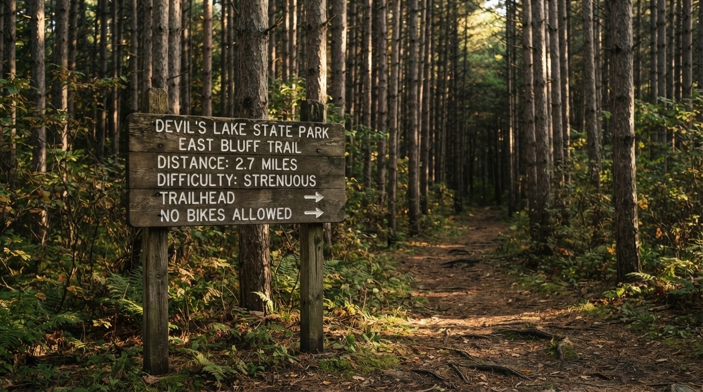
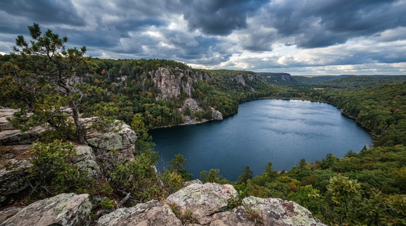
A 360-acre lake in a quartzite gorge, with 500-foot bluffs on both sides. The East Bluff loop is 4.5 km of stone steps past balanced rocks and a 20-metre crack in the quartzite; the West Bluff trail gives the better view of the lake for less climbing.
Reality check: on a July weekend the car parks fill by 9am and the trail becomes a queue. Go on a weekday, at sunrise, or in October.
Kettle Moraine State Forest
Two units (north and south) covering the glacial terrain west of Milwaukee. The Southern Unit has the best-marked section of the Ice Age Trail in the state, along the spine of the Kettle Moraine, plus the 40 km Scuppernong trail network for hiking and cross-country skiing.
Copper Falls State Park
In the far north, where the Bad River drops over two waterfalls in a red clay gorge. The 3 km Doughboy's trail loop takes in both falls and a section of old-growth hemlock. Worth the four-hour drive from Madison if you are heading north anyway.
Pike Lake and the northern units
Underrated because they are not famous. Pike Lake, 40 minutes north-west of Milwaukee, has a beach, a 3 km interpretive trail and a fire tower with a view over glacial terrain.
The Ice Age Trail
A 1,000-mile footpath along the terminal moraine of the last glaciation, from Interstate Park on the St Croix River to Potawatomi State Park on Green Bay. It is one of eleven National Scenic Trails in the United States and the only one entirely within a single state.
Nobody walks it all in a trip. The day-length segments that are worth driving to:
| Segment | Nearest town | Length | Character |
|---|---|---|---|
| Devil's Lake | Baraboo | 22 km | Quartzite bluffs, the most dramatic section |
| Kettle Moraine Southern Unit | Whitewater | 50 km | Glacial ridges, well marked, easy walking |
| Chippewa Moraine | New Auburn | 15 km | Kettle lakes and moraine, quiet |
| St Croix Falls | St Croix Falls | 9 km | Dalles of the St Croix, basalt cliffs |
| Point Beach | Two Rivers | 10 km | Lake Michigan shoreline and old-growth pines |
Paddling and water
Wisconsin has more than 1,000 paddling routes. The ones worth planning a trip around:
- Apostle Islands sea caves — Lake Superior sandstone caverns, best with a licensed outfitter. Cold water, exposed crossing, spectacular. See the Apostle Islands guide.
- The Kickapoo River — a narrow, twisting river in the Driftless Area with sandbars and no development. Outfitters in Ontario and La Farge.
- The Wisconsin River — wide, sandy and flat, with sandbar camping on the lower sections. The Dells stretch is for tour boats, not kayaks.
- The Namekagon and St Croix — a National Scenic Riverway in the north-west, with gentle water and forest all the way.
- Door County's Mink River estuary — a protected wetland best paddled quietly at dawn.
Winter outdoors
Wisconsin does winter properly, and the infrastructure exists for it: 40,000 km of groomed snowmobile trails, hundreds of kilometres of cross-country ski trails, and downhill hills in the Kettle Moraine and the north.
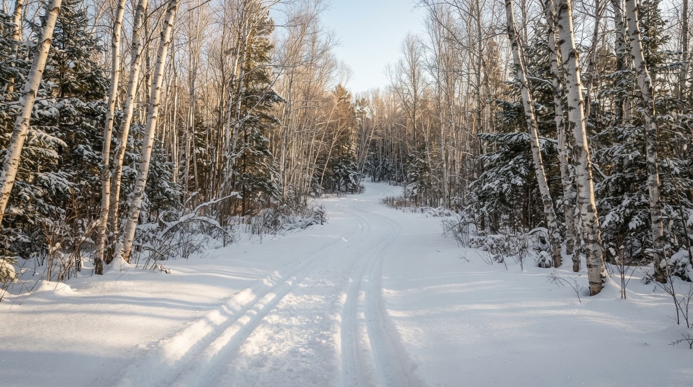
- Cross-country skiing — Kettle Moraine, the Northern Highland forest and the Minocqua area have groomed, tracked trails. Rentals are available at most.
- Snowshoeing — anywhere there is a hiking trail and 20 cm of snow. State parks rent snowshoes at several properties.
- Snowmobiling — trails open when there is a 15 cm base. You need a Wisconsin trail pass; rentals and guided trips exist in the northwoods.
- Ice caves — irregular, spectacular and never to be attempted without local guidance. See Events and Seasons.
Fishing, briefly
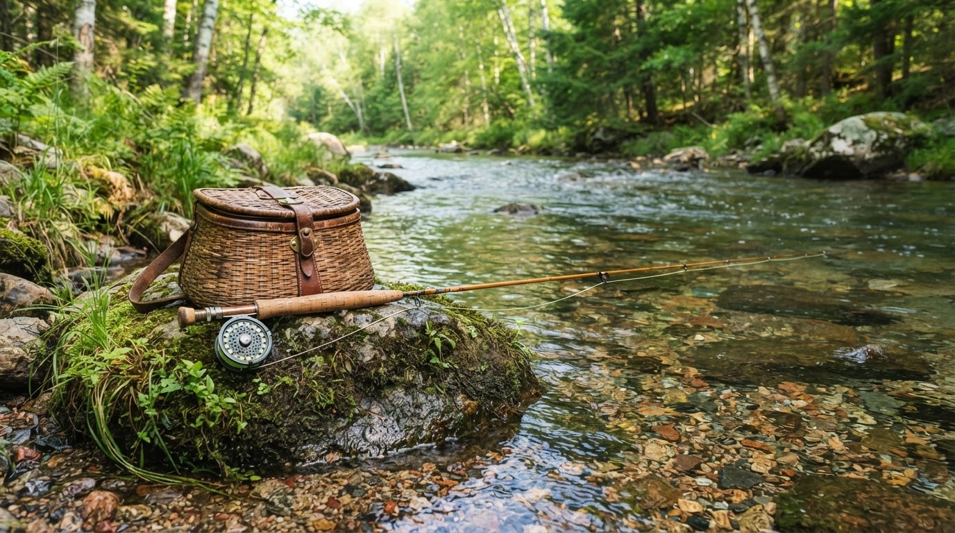
Inland trout streams in the Driftless Area, walleye and musky in the northern lakes, salmon and trout in Lake Michigan tributaries in autumn. A non-resident licence is required and can be bought online; the season dates vary by species and water. Fly shops in Viroqua, Madison and Steelhead country on the Lake Michigan coast will tell you where the fish actually are.
Leave no trace, and pack for ticks
Wisconsin has a serious tick population from May to September, and deer ticks carry Lyme disease. Wear long trousers on grassy trails, use repellent, and check yourself afterwards. Black flies and mosquitoes peak in June in the north.
Season summary
April to May: waterfalls, wildflowers, no crowds, muddy trails. June to August: lakes, paddling, long days, insects. September to October: the best walking weather of the year. November to March: ski, snowshoe, and the frozen shoreline.
For timing detail see Events and Seasons; for what to pack, Plan Your Trip.
In pictures
Quartzite, snow and clear water
Bring the family
Several of these parks have beaches, short loops and interpretive centres that work with small children. The family guide has the practical picks.