Itineraries
Four Wisconsin road trips that work
Each of these has been paced against real driving times, opening hours and the fact that you will want a long lunch. Pick by how many days you have and which direction you are arriving from.
Route one · 3 days · 130 km between cities
Milwaukee and Madison in three days
The easiest introduction to the state, and the only route where you can genuinely leave the car parked. Fly into Milwaukee Mitchell, take the train or a rideshare downtown, and pick up a car only on the morning you leave.
-
Day 1 · Milwaukee
Lakefront, Third Ward, one good dinner
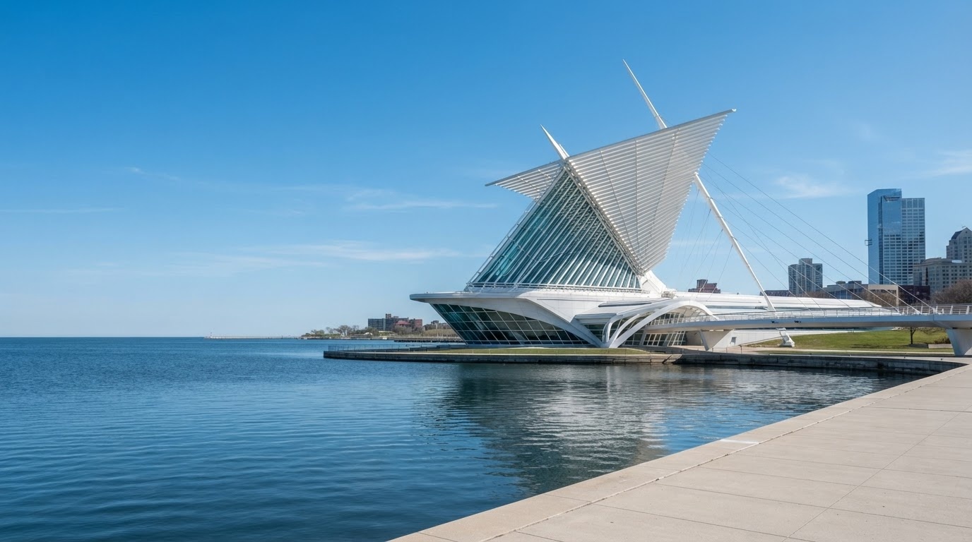
Start at the Milwaukee Art Museum when it opens — the Quadracci Pavilion's wings move on a schedule, so check the time and arrive early enough to watch. Walk the lakefront path south, then cut inland to the Third Ward for a late lunch in the Public Market.
Late afternoon: the RiverWalk, then a brewery tour if you want the history, or the Harley-Davidson Museum if you would rather look at engines. Dinner in Walker's Point or Bay View — both are neighbourhoods rather than tourist strips, and both are a short rideshare from downtown.
Sleep: downtown Milwaukee, near the lakefront or the Third Ward.
-
Day 2 · Milwaukee → Madison
Morning in the city, afternoon on the isthmus
Breakfast, then either the lakefront beaches at Bradford or a wander through the Historic Third Ward's galleries. Pick up the car around 11am and take I-94 west — 127 km, about 1 hour 25 minutes with no traffic.
In Madison, park once near Capitol Square. Walk the square, the Capitol building itself (free, open weekdays), then down State Street toward campus and the Memorial Union Terrace on Lake Mendota. Sunset from the Terrace is the single best free thing in Wisconsin.
Sleep: downtown Madison, within walking distance of the square.
-
Day 3 · Madison
Market, lakes and a university campus
If it is a Saturday, the farmers market around Capitol Square starts at 6:15am and is worth setting an alarm for. Any other day, walk the lakeshore path instead: the 6 km loop from the Union around the Mendota shore and back through the campus is flat, shaded and full of students.
Add a campus tour if you are considering the university, or drive 20 minutes to the Olbrich Botanical Gardens. Leave after lunch — Madison to Milwaukee airport is 1 hour 15, to Chicago about 2 hours 30.
If you only have two days
Do Milwaukee properly and skip Madison. Trying to do both in 48 hours means one rushed afternoon in each. If you must do both, drop the museum and take the 8am drive west.
Route two · 3 days · Door County peninsula loop
Door County is 110 km of peninsula with 500 km of shoreline, eleven lighthouses and five state parks. You drive it as a loop: up the bay side, back down the lake side, with Sturgeon Bay as the hinge.
-
Day 1 · Green Bay → Sturgeon Bay
Into the peninsula
Green Bay to Sturgeon Bay is 50 minutes. Stop at the Door County Maritime Museum if the weather is turning, then drive north on the bay side to Egg Harbor for the afternoon. This side faces west, so the sunsets are the reason people book here.
Sleep: Egg Harbor, Fish Creek or Ephraim.
-
Day 2 · Fish Creek → Baileys Harbor
Headlands, cherries and a fish boil
Morning at Peninsula State Park — the Eagle Bluff lighthouse and the 3.5 km Sentinel Point trail. Early afternoon: an orchard on the ridge road (cherries in July, apples from September). Late afternoon: Cana Island lighthouse, reached by a causeway you can walk at low water.
Book a fish boil for 6pm in Baileys Harbor or Fish Creek. They are all similar; the ritual is the point.
-
Day 3 · The lake side, then out
Newport, Cave Point, home
Newport State Park at the tip is the darkest place in the state and has 50 km of trails. On the way back down the lake side, stop at Cave Point County Park, where waves undercut the limestone into a line of small caves. Back to Green Bay in under two hours.
Route three · 5 days · Northwoods and Lake Superior
This is the route for people who want trees, water and not much else. It ends at Bayfield, on the coldest and clearest water in the state.
-
Day 1 · Madison → Minocqua
The drive north
Three hours and 290 km on US-51, past Wausau and into lake country. Minocqua sits on an isthmus between two lakes and is a good first night: boat rentals, a supper club and a very strong sense of place.
-
Day 2 · Minocqua → Copper Harbor area
Lake Superior's south shore
North on Highway 51 to Hurley and up into the Gogebic Range, then east along the lake through Ironwood and Ontonagon. The Porcupine Mountains are the highlight: 90 km of trails, an escarpment overlook and old-growth hemlock.
-
Day 3 · To Bayfield
Orchards and islands
West along the shore to Ashland, then north to Bayfield: 3 hours of driving, most of it with the lake on one side. Afternoon ferry to Madeline Island, or an orchard tour on the hills above town. Book the sea cave kayak trip for the next morning.
-
Day 4 · Apostle Islands
Sea caves by kayak or by boat
Meyers Beach is 25 minutes west of Bayfield. The kayak crossing to the mainland sea caves takes about four hours with an outfitter. If the wind is up, take the Apostle Islands cruise instead — it reaches the Devil's Island caves and the Raspberry Island lighthouse.
-
Day 5 · Bayfield → home
The long return
Bayfield to Madison is 5 hours. Break it at Eau Claire, which has a decent downtown and a good coffee scene, or at Wausau for the art museum.
Winter version
Between January and March this route becomes a snowmobile and cross-country ski trip. The sea caves can freeze into ice formations worth the drive alone, but only in a cold, low-snow year, and never without a guide.
Route four · 4 days · Great River Road and the Driftless Area
The western third of Wisconsin was never flattened by ice. The result is ridge-and-valley country where the roads follow contours and the views arrive without warning.
-
Day 1 · Madison → Spring Green → Prairie du Chien
Wright, then the river
An hour west of Madison is Taliesin, Frank Lloyd Wright's home and school. Take the two-hour house tour, then drive on through Dodgeville to Prairie du Chien, where the Wisconsin River meets the Mississippi.
-
Day 2 · Prairie du Chien → La Crosse
The river road north
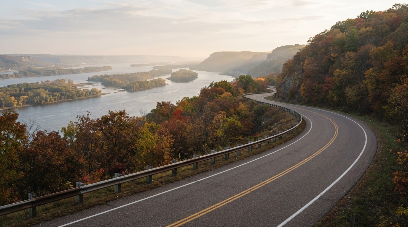
Highway 35 north is the Wisconsin section of the Great River Road: 100 km of bluff-top views, locks, and small towns with one restaurant each. Stop at Alma, which is built on a hillside so steep the main street is a switchback.
-
Day 3 · La Crosse
Bluffs, downtown and a paddleboat
Grandad Bluff is a 10-minute drive from downtown with a 180-metre view over three states. Then the historic downtown: the 19th-century commercial blocks, the farmers market, and a river cruise on a paddlewheel boat if the water is up.
-
Day 4 · La Crosse → Madison
Back east through the valleys
Take the slower route back via Viroqua and the Kickapoo Valley — 2 hours 20 to Madison if you do not stop, which you will.
How to adapt these
Add a day to any route and the most rewarding use of it is almost always a long hike or a second night in the same place. Moving every night is the single biggest mistake people make in Wisconsin: the state's pleasure is in sitting still next to water.
For road conditions in winter, see Plan Your Trip. For what is happening when you travel, see Events and Seasons.
In pictures
The drives themselves